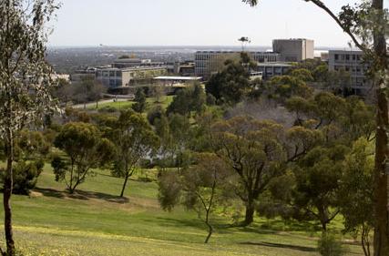
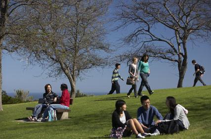
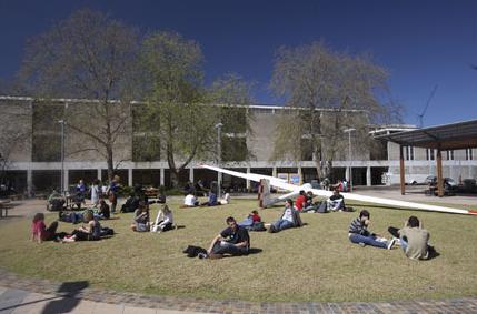
Objectives
The Graduate Diploma in Geographical Information Systems (GIS) provides a comprehensive introduction to the theory and application of GIS and remote sensing and is intended for students with an undergraduate degree that is not related to studies in GIS. It provides a theoretical and practical framework for graduates from a range of backgrounds, as well as those from the public sector and non-government organisations wishing to extend their choice of career path by acquiring knowledge and skills in the capture, synthesis and communication of spatially-referenced information. Students will learn skills which are applicable to a range of areas such as urban and regional planning, infrastructure management, transportation, the environment, biological sciences, biodiversity management and archaeology. Learning outcomes Students who successfully complete the graduate diploma will be able to: * practice advanced skills in GIS analysis in a variety of areas as well as discuss and interpret more complex spatial information theory and methodologies; * demonstrate an in-depth understanding of vector and raster GIS structures, relational databases, geodatabases, data input, data editing and raster interpolation methods; * practice multispectral image interpretation and analysis through a range of geometric and radiometric enhancement techniques, image arithmetic and data fusion; * extract useful information from remotely sensed data through a range of multispectral transformations, band ratios, and classification methodologies; and * demonstrate the practical application and analysis of GIS and remotely sensed data through the implementation of project work.